Pix4D Mapper
The Best Photogrammetry Software for Professional Drone Mapping

capture
Capture RGB, thermal or multispectral images with any camera.
If you use a drone, automate your flight and image data transfer with the free PIX4Dcapture app.

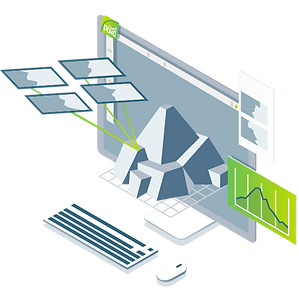
digitalization
PIX4Dmapper's photogrammetry algorithms transform ground or aerial images into digital maps and 3D models.
Seamlessly process your projects on your desktop with our photogrammetry software, or bundle it with PIX4Dcloud for online processing.
control
Evaluate, control, and improve project quality using the power of photogrammetry in the rayCloud environment.
Use Quality Reports to review a preview of generated results, calibration details, and more project quality metrics.

Measurement and inspection
Accurately measure distances, areas and volumes.

Collaborate and Share
Streamline project communication and teamwork.
Selectively and securely share project data and insights with your team, customers, and suppliers using standard file formats.
Accurate 3D maps and models derived from images

Automatic point cloud classification

Flatten digital surfacesand make it smooth

Easily measure surfaces, distances and volumesMeasure

Project accuracy control
Detailed quality report